| Key to Oklahoma |
|
|
|
|
|
Prehistory to 1802
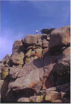
Geologic HistoryPrehistory is the era before humans learned how to write. To learn prehistory, we depend on information provided by scientists called geologists. They study the earth. We also depend on archaeologists who study artifacts that ancient peoples left behind. A geological timetable made by geologists describes how and when the land was formed. Geologists now believe that the earth is at least 4 � billion years old. A geologic map shows the layers of land that have developed in Oklahoma throughout its history. To simplify their work, geologists divide the study of time into four units: eons, eras, periods and epochs. Different rocks and minerals appeared during these times because of glaciers, erosion, volcanoes, earthquakes and other natural events. Large amounts of sedimentary rocks can be found in Oklahoma, including sandstone and limestone.
As mountains rose, regions around them dropped and formed large basins that filled with water where marine life continued to flourish. The two basins in Oklahoma are the Anadarko Basin in the western part of the state and the Arkoma Basin in the eastern part. Through the eons, aquifers developed below the surface. Today, 70 percent of the water that Oklahoma’s farmers use comes from these underground sources. The Ogallala aquifer under the land of the state’s Panhandle is the most important one in the state. Its value is estimated to be one billion dollars. Over thousands of years new pressures inside the earth moved Oklahoma’s surface upward. The water drained off, and the sea receded far to the south. After millions of years in developing, Oklahoma became a homeland for humans. The Oklahoma Museum of Natural History in Norman and the Museum of the Great Plains in Lawton have excellent exhibits about Oklahoma’s prehistoric past. The Norman museum exhibits skeletons of dinosaurs that once roamed the region before becoming extinct about 65 million years ago.
Additional Resources
Study Guide Questions
|
|
|